High-Resolution NAM Model Now Available for More Detailed Weather Forecasts
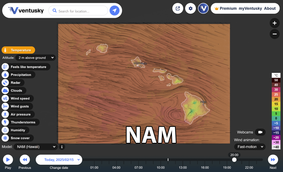
We are excited to announce that Ventusky has added a new, high-resolution model for the USA and Hawaii: the North American Mesoscale (NAM) Forecast System (see NAM US or NAM Hawaii weather map). Developed by the National Oceanic and Atmospheric Administration (NOAA), the NAM model provides detailed weather forecasts with a horizontal resolution arround 2.5 km (nest version), offering precise data on various weather parameters, including temperature, precipitation, and wind patterns.

For the USA, Ventusky now offers a comprehensive suite of models: HRRR, NAM, NBM, and several global models, including GFS, ICON, KMA, GEM and ECMWF. The inclusion of the NAM model enhances ability to compare results from regional models. While the HRRR model is preferred for its hourly updates and detailed storm development insights, the NAM model provides longer-range forecasts, updating every six hours. By comparing these models, you gain valuable perspectives on different weather scenarios.
In Hawaii, the NAM model is the first high-resolution model for this area on Ventusky. It will improve forecast accuracy in the region, clearly illustrating the influence of the islands on wind and other weather parameters.

By incorporating the NAM model for the USA and Hawaii, Ventusky enhances the precision of its weather forecasts, providing you with reliable and detailed information to plan your activities confidently.